Panama's rainy season runs from May through November, and on the Pacific side, where most foreign buyers settle, September and October are the wettest months. December through April is dry outright. And the headline most people are really asking about: Panama sits below the hurricane belt, with exactly one landfall in NOAA's full 173-year Atlantic record. Those are the government's own numbers, from IMHPA, the national weather and hydrology institute that has run Panama's rain gauges since 2023.
The reason this matters more than idle curiosity is that climate is the single biggest driver of where you should live here. Panama is small, but it holds three distinct rainfall regimes and a mountain zone on top of them, and choosing between them is most of the work of choosing a town.
Key takeaways
- The rainy season runs May to November nationwide, but the Pacific and Caribbean sides don't share a calendar. On the Pacific side (Panama City, Coronado, the Azuero coast) the wettest months are September and October, with a short dry break called the veranillo, "little summer," in July and August. The Caribbean side (Bocas del Toro, Colón) rains almost year-round, heaviest December to February. IMHPA, Régimen Pluviométrico de Panamá, checked August 2026.
- Panama has no hurricane season of its own. In NOAA's full Atlantic hurricane database, covering 1851 through 2024, exactly one storm has made landfall in the country. NOAA National Hurricane Center, HURDAT2 best-track database, checked August 2026.
- That one storm, Hurricane Martha, had weakened to a tropical storm by the time it crossed the coast. It made landfall in rural Veraguas province on November 24, 1969, with 40-knot winds, two days after peaking as a hurricane offshore. NOAA HURDAT2, checked August 2026.
- The driest place in the country is the Arco Seco, the dry-corridor stretch of Herrera, Los Santos, and Coclé. A Universidad Tecnológica de Panamá study puts its rainfall at 0–400mm in the dry season and 550–1,600mm in the rainy season, well under the rest of the country, and flags droughts running up to seven months in El Niño years. Castrellón et al., Las aguas subterráneas en el Arco Seco de Panamá, UTP, APANAC 2021, checked August 2026.
- Panama's official weather and hydrology authority is IMHPA. The Instituto de Meteorología e Hidrología de Panamá took over the national rain-gauge and forecasting network on January 3, 2023, created by Ley 209 of April 22, 2021. ETESA, the national grid operator, ran it from 1997 until that handover, which is why older pages still credit ETESA. IMHPA, Antecedentes de la Red Hidrometeorológica Nacional, checked August 2026.
The short answer: three climates, pick yours
IMHPA's own regional breakdown splits the country into three climate zones rather than treating "rainy season" as one national pattern. Read this table as a where-to-live tool, because that is what it really is.
| Region | What the rainy season looks like | The dry break |
|---|---|---|
| Pacific (Panama City, Coronado, Azuero coast) | Firm rainy season from May to November, moderate-to-strong storms with lightning, typically in the afternoon. September and October are the wettest months. | December–April is dry outright, plus a shorter dry spell called the veranillo in July–August. |
| Central (the country's interior, more continental) | Rain generally arrives after midday, driven by air masses off either coast; moderate to strong, with lightning and strong wind. | Follows the same broad May–November / December–April split as the Pacific side. |
| Caribbean/Atlantic (Bocas del Toro, Colón) | Rain nearly all year. December–February is the heaviest stretch, driven by cold fronts pushing down from the Northern Hemisphere into the tropics. | There isn't a real dry season here in the way the Pacific side has one. |
That is the single most useful thing on this page. If you are weighing a property in Bocas del Toro against one near Panama City, you are comparing a place with no real dry season against a place with a firm four-month one, not two versions of the same weather. Most people who arrive picturing "tropical" have the Pacific pattern in mind, and most of them end up on the Pacific side.
Elevation adds a fourth variable. Boquete, in the highlands of Chiriquí, sits inside the Pacific-side seasonal calendar but takes orographic rain from air forced up the mountains on top of the base pattern, which is why it reads as wetter and cooler than Panama City while nominally sharing a rainy season. That cool, damp mountain air is exactly what draws people there, and it is the reason Boquete and Panama City attract such different residents. Our guide to the best places to retire in Panama compares the towns side by side on climate along with cost, healthcare and rental supply.
What the rainy season actually feels like on the Pacific side
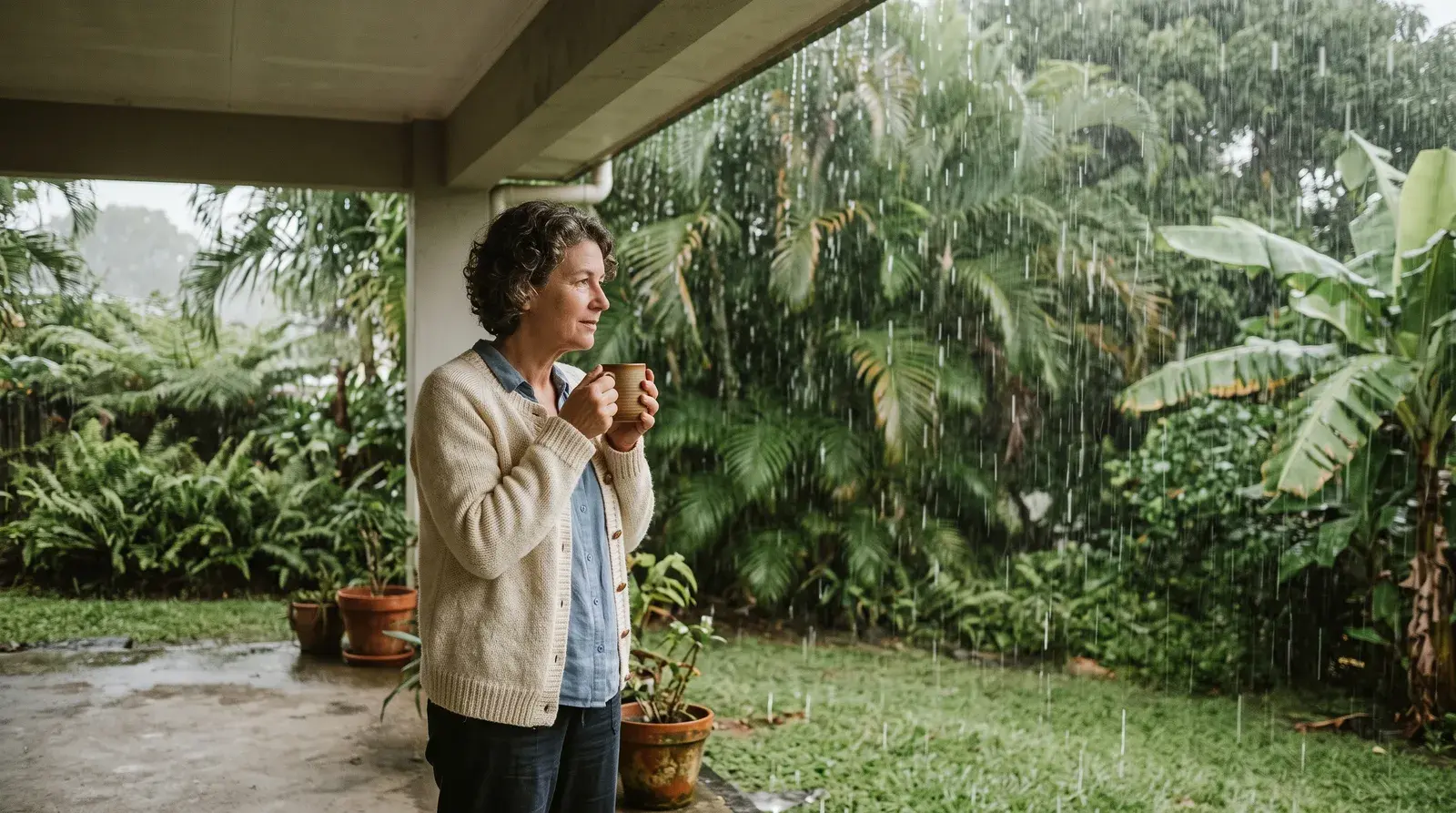
The word "rainy" does more damage than the weather does. On the Pacific side the pattern IMHPA describes is afternoon storms: moderate to strong, with lightning, arriving after midday rather than sitting over you all day. Mornings are frequently clear. The heaviest stretch is September and October, and July and August bring the veranillo, a genuine dry break in the middle of the wet half of the year.
Then December arrives and the Pacific side turns dry outright until April. Not "drier." Dry. That four-and-a-half-month stretch is the season Panama sells itself on, and it lines up almost exactly with winter in North America and Europe.
If you can time it, visit once in each. A February trip shows you Panama at its best and tells you nothing about October. Renting for six months to a year before you buy, spanning at least part of the May-to-November stretch, is the standard advice for good reason.
The Arco Seco: the sunniest corner of the country
If there is a genuine exception to "Panama is wet from May to November," it is the Arco Seco, the dry-arc corridor running through Herrera, Los Santos, and the western edge of Coclé, roughly the interior of the Azuero peninsula. The 2021 Universidad Tecnológica de Panamá groundwater study describes the lowest precipitation range in the country there: as little as 0–400mm in the dry season and 550–1,600mm in the rainy season, against wetter figures everywhere else.
That is the climatology behind the Azuero coast's reputation, and it holds up. If sun is what you came for, Pedasí and its neighbours on that coast are the driest, brightest option Panama has. The same study flags the corridor as susceptible to droughts extending up to seven months during El Niño years, driven partly by deforestation and uncontrolled well drilling, so water supply is a question to put to a local well contractor or the municipality about a specific property rather than one to assume.
Do you need help relocating to Panama?
If you're weighing up the move, a licensed broker who lives here can tell you what the areas are really like to live in, and what your money does in each of them.
Email or phone, whichever you’d rather. We pass your details to one licensed broker and no one else, and there’s no newsletter.
Know your budget and timeline already? Send those instead and get a shortlist →
Hurricane risk: one landfall in 173 years
This is the fact worth carrying into any comparison with Florida, the Gulf Coast, or the Caribbean islands. Panama sits within a few degrees of the equator, too close for the Coriolis effect that spins a tropical system into a hurricane to build much strength. Central America's hurricane exposure drops off sharply the further south you go, and Panama is as far south as the isthmus reaches.
The record says it plainly. NOAA's HURDAT2 database, the National Hurricane Center's full Atlantic best-track archive covering 1851 through 2024, contains exactly one storm with an official landfall position inside Panama. Hurricane Martha formed in the southwestern Caribbean in November 1969, reached hurricane strength on November 22 with peak winds near 90 mph, then weakened as it turned toward the coast. HURDAT2's track data shows it crossing land at 6 p.m. UTC on November 24, near 8.8°N, 81.1°W, in rural Veraguas province about ten miles east of the Calovebora River mouth, with sustained winds down to 40 knots, tropical storm strength rather than hurricane strength at the moment of landfall.
One landfall, already weakened, in 173 years of continuous record. No annual season, no shutters, no evacuation route, no hurricane deductible on your insurance quote. For anyone who has spent August watching the tropics from a Florida or Caribbean address, that is the whole pitch.
What it does not mean is no flood risk. Rain on the Pacific side comes hard and fast in the afternoon, and a property on a floodplain or at the base of a slope carries real exposure whatever the hurricane record says. Ask about drainage and site elevation on any lot you like, and ask neighbours what October looks like from that particular street.
What Hurricane Otto did in Panama in 2016
Otto is the storm people bring up, so here is the accurate version. It made landfall on November 24, 2016 in southern Nicaragua, the southernmost hurricane landfall on record in Central America. Its center never crossed Panama.
Panama still felt it. NOAA's official tropical cyclone report documents heavy rainfall and wind from Otto's outer bands causing eight deaths, concentrated in the eastern part of Panama City, where two people drowned in a swollen river, and off the coast of Colón, where two sailors were lost when their vessel sank. Roughly 500 people were displaced, with measurable damage to agriculture and livestock. The impact fell on the Pacific side and around Colón rather than on the Caribbean beach towns, which is the opposite of what most accounts assume, and it is a useful reminder that in Panama the risk from a tropical system is water on the ground, not wind off the sea.
Which climate suits you
- You want a real dry season and afternoon-only rain: the Pacific side. Panama City, Coronado, and the Pacific beach corridor all run the December-to-April dry stretch.
- You want maximum sun and the least rain in the country: the Arco Seco and the Azuero coast, around Pedasí. Check water supply on the specific lot.
- You want cool air and green year-round, and don't mind damp: Boquete and the Chiriquí highlands, where elevation does the work.
- You want Caribbean island life and can live without a dry season: Bocas del Toro, where December to February is the wettest stretch rather than the driest.
- You are comparing Panama with Florida or the islands on storm risk: the record is one landfall since 1851, and it was a weakened tropical storm.
Your next step
Climate decides more about where you should live in Panama than budget does. Two towns four hours apart can run opposite calendars, and the difference between a place that dries out in December and one that never does is the difference between loving your house and quietly regretting it.
Tell us what weather you actually want, whether you would rather be warm and dry or cool and green, what months you can travel, and what you are working with on budget and timeline. We will come back with the towns that match and the properties worth seeing in them. The form below is all it takes, and asking costs nothing.
Frequently asked questions
Does Panama have a hurricane season?
No, not in the way the term is used for the US Gulf Coast or the Caribbean islands. Panama sits within a few degrees of the equator, too close for a tropical system to spin up much strength through the Coriolis effect. In NOAA's HURDAT2 database, the National Hurricane Center's full Atlantic best-track record from 1851 through 2024, exactly one storm has an official landfall position inside Panama: Hurricane Martha, in November 1969, and it had weakened to a tropical storm by the time it reached the coast. One landfall in 173 years is not an annual season.
When exactly does Panama's rainy season start and end?
IMHPA, the government institute that tracks this, puts the rainy season at May through November nationwide. On the Pacific side, where Panama City, Coronado, and most of the Azuero coast sit, September and October are the wettest months, with a short dry break called the veranillo in July and August. December through April is dry outright there. The Caribbean side, Bocas del Toro and Colón, does not really have a dry season: it rains most of the year, heaviest from December to February.
Is Bocas del Toro rainier than Panama City?
They run opposite calendars. IMHPA describes the Caribbean/Atlantic region, which includes Bocas del Toro, as raining nearly year-round, with its heaviest stretch from December to February driven by cold fronts reaching down from the Northern Hemisphere. The Pacific side, including Panama City, has a firm dry season from December through April. If a defined dry season matters to you, that difference should decide the shortlist.
What is the Arco Seco, and why does it matter for buyers?
The Arco Seco, the dry-arc corridor through Herrera, Los Santos, and western Coclé, roughly the interior of the Azuero peninsula, is the driest and sunniest part of the country. A Universidad Tecnológica de Panamá study puts its rainfall at 0–400mm in the dry season and 550–1,600mm in the wet season, both well under what the rest of Panama sees, and flags droughts that can run up to seven months in El Niño years. If you are looking at property around Pedasí or elsewhere on the Azuero coast, that dry reputation is real, and water supply is worth checking with a local well contractor or the municipality on the specific lot.
Did Hurricane Otto hit Panama in 2016?
It did not make landfall in Panama. NOAA's official tropical cyclone report places Otto's landfall in southern Nicaragua, the southernmost hurricane landfall on record in Central America. Its outer rain bands still caused real damage here: eight deaths, mostly from flooding and a landslide in eastern Panama City and a boat sinking off Colón, and roughly 500 people displaced. The impact fell on the Pacific side and around Colón rather than on the Caribbean coast.
Which agency publishes Panama's official weather data?
IMHPA, the Instituto de Meteorología e Hidrología de Panamá. It was created by Ley 209 of April 22, 2021 and took over the national rain-gauge, river-level and forecasting network on January 3, 2023. ETESA, the Empresa de Transmisión Eléctrica, ran that network from 1997 until the handover and still runs the national power grid, which is why older sources credit it with the weather service.
Should I visit Panama in the dry season or the rainy season?
Both, if you can. A February trip shows you the Pacific side at its best and tells you nothing about October. The standard advice before buying is to rent for six months to a year spanning at least part of the May-to-November stretch, so you see the street, the drainage and the afternoon storms before you commit to a house.
Sources
- IMHPA — Antecedentes de la Red Hidrometeorológica Nacional de Panamá (institutional history: ETESA 1997–2022, IMHPA from Ley 209 of April 22, 2021, operational from January 3, 2023) — checked 2026-08-03
- IMHPA — Régimen Pluviométrico de Panamá (Pacific, Central, and Caribbean/Atlantic seasonal rainfall patterns) — checked 2026-08-03
- NOAA National Hurricane Center — HURDAT2 Atlantic hurricane database, 1851–2024 (best-track landfall data, searched for all Panama-area landfall positions) — checked 2026-08-03
- NOAA National Hurricane Center — Tropical Cyclone Report, Hurricane Otto (2016), including Panama casualty and damage statistics — checked 2026-08-03
- Castrellón, Muñoz, Guerra-Chanis, Leiva & Fábrega (Universidad Tecnológica de Panamá) — Las aguas subterráneas en el Arco Seco de Panamá: Un tesoro por explorar, APANAC 2021 — checked 2026-08-03
Do you need help relocating to Panama?
If you're weighing up the move, a licensed broker who lives here can tell you what the areas are really like to live in, and what your money does in each of them.
Email or phone, whichever you’d rather. We pass your details to one licensed broker and no one else, and there’s no newsletter.
Know your budget and timeline already? Send those instead and get a shortlist →